Parish of Nocton
Nocton was described in the last century as 'a green and pleasant place seven miles south east of Lincoln, having a Hall which was the home of a Prime Minister and a Church, built in his memory and which is his last resting place'.
About a mile from the village, on the edge of Nocton Fen and close to Nocton Wood, where lilies of the valley grow in great profusion, is the site of a priory founded in the time of King Stephen.
The Parish of Nocton, in the Wapentake of Langee and parts of Kesteven in the County of Lincoln contains 5,340 acres; of those 2,315, to the east of the Carr Dyke are fen, and 1,583, to the west of the Lincoln - Sleaford road are heath; the remaining 1,172 lying between the Carr Dyke and the Lincoln Rd, include the village and wood.
About a mile from the village, on the edge of Nocton Fen and close to Nocton Wood, where lilies of the valley grow in great profusion, is the site of a priory founded in the time of King Stephen.
 |
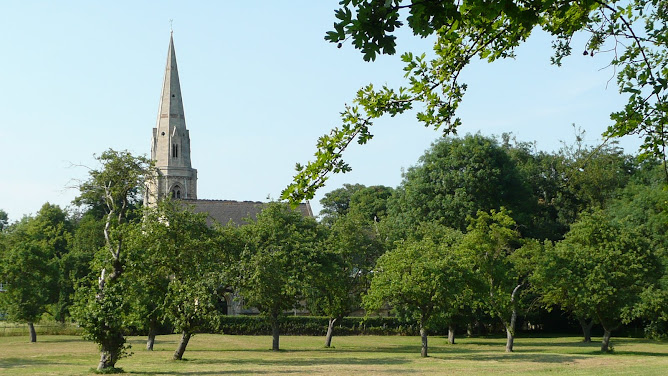
| Nocton - as it might have been |
The Parish of Nocton, in the Wapentake of Langee and parts of Kesteven in the County of Lincoln contains 5,340 acres; of those 2,315, to the east of the Carr Dyke are fen, and 1,583, to the west of the Lincoln - Sleaford road are heath; the remaining 1,172 lying between the Carr Dyke and the Lincoln Rd, include the village and wood.
Romans
 |
| Brass artwork on footpath between The Green / The Avenue |
The Carr Dyke was cut by the Romans some time during their occupation of this country, AD 80-448 and was probably during the time of Agricola AD 79-84. This channel, originally about sixty feet wide, was navigable from its junction with the River Witham near Lincoln to the River Welland, north of Peterborough. It's chief purpose was to catch the waters from the rising ground to the west and to prevent them from swamping the Fens.
The Romans clearly thought the Carr Dyke an important work, and according to some historians, they built seven forts along its bank: of these, one was about four miles north of Nocton and another three miles to the south. How far the Romans succeeded in their attempt to drain the Fens we cannot tell for after they left the country their works were allowed to fall out of repair. Today, the Carr Dyke is only a fair sized drain and conveys the upland waters into the Nocton Delph. In 1811, when the dyke was being cleaned out, two ancient boats or canoes and some clay moulds for casting false coins of Constantine the Great and his mother Helena, circa AD327, were found.
The Fen and the Heath have been enclosed since 1776; until then both were practically waste, the only inhabited and cultivated portion of the parish being "the old enclosure" and the "field lands".
Britons and Romans may each in turn have made a temporary settlement of the place, but its continuous occupation as an abode of men must date from some time between the English settlement of Lindsey and Kesteven, AD 500-600 and the Danish settlement AD 870-880.
At the time of the Norman Conquest the parish was unequally divided between two, Ulf and Osulf. Ulf's lands were rated as twenty three carucates, Osulf's as one carucate. There was a church and a priest on Ulf's lands, as well as "ninety five acres of meadow and forty acres of brushwood."
No comments:
Post a Comment
Note: All comments are moderated and will not be posted until screening has taken place. This is to ensure no foul language is posted online. Please leave your name if you are making a comment, even if it is just a first name - thank you.